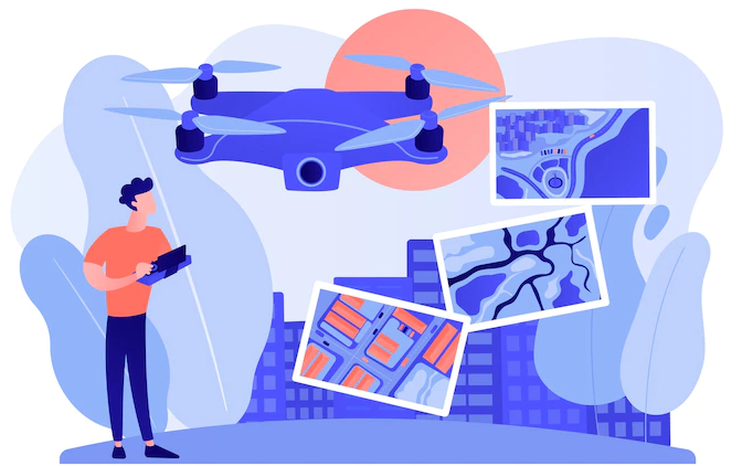
Many construction sites, mining firms, and forestry and agriculture departments are taking advantage of drone mapping to increase efficiency, quality, and speed in their operations. However, drone mapping is still new to most of these industries. Thus, the users must get things like the software choice right for the best results. Drone mapping refers to using unmanned aerial vehicles (UAVs) or drones to capture aerial data with downward-facing sensors such as LIDAR payloads, multispectral cameras, or RGB. During this exercise, the ground is photographed several times from various angles, and every image is tagged with coordinates. A 3D map with accurate measurements and GPS coordinates is created through Drone photogrammetry software.
Benefits of Drone Mapping Software
Reduces field time and survey costs. Using drones to capture topographic pictures is five times more effective than land-based methods. You no longer have to place numerous GCPs when using a drone as it enables geotagging, thus reducing overall costs. Can map inaccessible areas. Surveying can be tricky, especially when you come across inaccessible areas. Luckily, a drone can maneuver through most places and capture good images. Provides exhaustive and accurate data. Unlike total stations that only measure individual points, a drone shot can produce thousands of measurements represented in various formats, such as orthomosaic, contour lines, point cloud, DTM, and DSM.
Things To Consider While Choosing A Drone Mapping Software
Compatible file formats
If you are a professional offering drone services, you will come across clients looking for different file formats. You may also need to open data collected using industry-standard software such as AutoCAD, Google Earth, and ArcGIS. Ensure that the drone mapping software you pick can export data in various formats.
End-to-end services
The ideal drone mapping software package should offer all the solutions needed in a mapping exercise. Such features should help you plan your flight, communicate with the drone while flying, record the data and save it on cloud or local storage, process it, and then export it to a suitable format.
Ease of use
If it is your first time dealing with a drone mapping software package, you will need a self-explanatory software application. Doing research will help you pick an application that is easy to use.
Collaborative environment
Some projects may require inputs from different users and data sources. The ideal software package should allow various team members to plan, schedule, and execute a drone mission. The following are some of the best drone mapping software applications you can try today.
Pix4D
According to its official website, Pix4D is the “leading photogrammetry software for professional drone mapping”. This drone mapping tool suits advanced users. Pix4D offers a free trial, while the paid version starts from $291/month for the Pix4DMapper.
Key Features
Comes in different versions for different purposes. You can always pick a software package that suits you, as the company has Pix4DMapper for mapping, Pix4Dbim for construction, Pix4Dag for agriculture, and Pix4Dmodel for 3D modeling. Multilingual. This software application supports languages such as English, Russian, German, French, Japanese, Spanish, Mandarin, Italian and Korean. Automated processing. Pix4D can automatically extract still frames from videos to create a new project. This software package also processes images with or without known camera exterior orientations.
Maps Made Easy
Maps Made Easy allows users to achieve perfect coverage and overlap through simple control of the flight pattern, flight speed, and camera frame rate. Maps Made Easy has a Pay-as-you-go plan with rates as low as $0.016/image. You can also opt for a subscription-based model with a free tier and paid subscription from $5/month.
Key Features
3D model-based stitching. Maps Made Easy uses cutting-edge methods to create maps. This software application combines several looks, and stunningly accurate orthophoto maps are exported after processing. Stockpile Volume Measurement. Measuring and tracking stockpile volumes is quick and easy through Maps Made Easy’s web-based volume measurements. You don’t have to buy expensive external software as you can measure directly from the web browser. Normalized Difference Vegetation Index (NDVI) Processing. NDVI is a graphical indicator that analyzes remote sensing measurements and assesses whether the target has healthy vegetation. Map Pilot App for iOS and Android. You can plan and control your flight using your smartphone. You just need to specify your survey area, select the level of detail, and fly, and the app will perform the rest.
AgiSoft
AgiSoftMetashape was designed to process photogrammetry data. Thus, you can easily process images and generate 3D spatial data quickly and accurately. AgiSoft offers a 30-day free trial, and pricing starts from $155.90/ month.
Key Features
Several output options. AgiSoft Metashape has various output options, depending on your needs. Elaborate model editing. The package allows further reconstruction through the automatic multi-class points classification. DSM/DTM generation. Depending on your project, you can generate either a Digital Surface Mornd/or a Digital Terrain Model.
Weakness
AgiSoft Metashape is not an end-to-end drone mapping solution, as it was designed as a processing solution.
Simactive
Correlator3D software from Simactive allows you to process large mapping projects and deliver high-quality results from satellite imagery, drone, or aircraft. Simactive offers a free trial and flexible payment plans at $295 per month.
Key Features
Flexible Modular Architecture. There are a lot of things you can achieve from Correlator3D, from Aerial Triangulation, DTM Extraction, DSM & Point Cloud Generation, 3D Model Generation, Mosaic Creation to Orthorectification. Distributed Processing. Batch processing accelerates processing speed and you can thus deliver big projects fast. Powerful Editing Tools. There are several options to choose from, such as GCP Creation, Tie Point Editing, DEM Editing, Mosaic Editing, and 3D Feature Extraction.
Virtual Surveyor
Virtual Surveyor is a software application suitable for topographic surveying, construction earthworks, mining & quarrying, and stockpile inventory. The application comes with various tools to help optimize your project accurately. Virtual Surveyor offers a free plan, while the paid plans start from $125 per user per month.
Key Features
Collaboration. You can connect your dropbox and access your files from anywhere. You can also share your shots externally and manage access rights. Easily combine data from fieldwork, drones, and CAD. If you have data from GPS or the total station, you can feed it to a virtual surveyor for more accurate results. Different view angles. If you are mapping linear features or need to prepare a report, a 2D map view will be ideal. However, you can go for a 3D want to analyze topography and/or compare it with a design.
3DF Zephyr
3DF Zephyr from 3DFlow allows users to reconstruct 3D models from photos automatically. This photogrammetry software solution can also deal with any 3D scanning or reconstruction challenge. 3DF Zephyr offers a free plan, while the paid versions start from €149.00 + VAT.
Key Features
Multi-GPU support. Zephyr’s multi-GPU support gives you control over 3D reconstruction steps. Versatile to many applications. You can apply 3DF Zephyr to hundreds of projects, scenarios, and applications. Just define your goals, and the tool will take care of the rest. Various models are available. 3DF Zephyr goes beyond 3D as you can get Digital Terrain and Surface models (DTM, DSM), true orthophotos, project reports, and stats.
Open Drone Map
Open Drone Map is a software application that uses aerial images to generate maps, DEMs, point clouds, and 3D models. It has pay-as-you-go and subscription-based models starting from $29 / Month.
Key Features
Orthomosaics. You can process georeferenced, orthorectified maps using this software application. Ground Control Points. You can create and use GCPs for additional accuracy. Multiple export formats. You can export your files as GeoTIFF, LAS/LAZ, PNG, OBJ, and OGC 3D Tiles formats. Different models are available. Open Drone Map produces textured 3D models in OBJ and OGC 3D Tiles format. There are also georeferenced digital elevation models (DSMs and DTMs)
Industries Benefitting From Drone Mapping Software
Construction and infrastructure
Using drone mapping software, construction professionals can map large or unreachable areas for pre-built evaluation. Other uses in the construction industry are tracking construction progress and 3D modeling of sites.
Agriculture
Multispectral imagery from such a tool will come in handy in identifying plant problems and providing accurate plant counts. Collected data be used to prevent the costly spread of invasive species or diseases.
Mining and aggregates
Drone Mapping Software improves the management efficiency of large quarries and mining sites. Some of the uses of such software in mining include;
Hazard identifications Slope monitoring Assessment before blasting or drilling Inventory and management of stockpile volume
Wildlife management
Modern researchers and conservationists use drones to monitor land changes and track wildlife movements.
Author’s Note
To utilize drone mapping software to its full potential, it should be handled by a professional. The choice of a drone will also influence the final results, and you should thus ensure you get the right pick.
Wrapping Up
Drone Mapping is now becoming attractive to professional drone flyers worldwide. The choice of Drone Mapping Software will depend on the needs, ease of use, and familiarity with the software features. However, to understand this field and produce perfect maps, the user must first master the fundamentals of map projections, remote sensing, and 3D modeling. You may also explore some geospatial tools for mapping & data visualization.

![]()


